Learn about the fieldtrips you will take as a student on an undergraduate course with the UCL Department of Geography
You will have the opportunity to go on several field trips throughout your time at UCL Geography, giving you the chance to explore the key methods and research in both physical and human geography in a diverse range of environments. We believe the chance to learn in the field is a vital experience for all aspiring geographers, which is why our first-year field trip is compulsory for all single-honours (and some joint-honours) students.
In the past, UCL Geography has covered all accommodation and flight costs for this trip as well as most of the food costs. For more information about the costs of other field classes, please see our undergraduate prospectus.
Find out more about past field trips, and the skills and experience our students have gained, below
Please note: Fieldtrip locations are subject to change each year. The Department aims to provide a field class in every year of study but this remains subject to international travel restrictions.
- Year 1: Catalonia
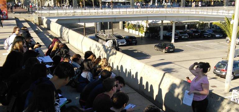
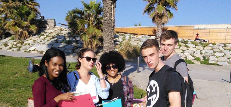
In previous years, first-year Geography undergraduates taking the Geography In the Field 1 module have spent a week in Catalonia. The aim is partly academic since we want to start by giving students some practical experience with a range of field and data analytical methods. But this is also a wonderful opportunity to meet fellow students and get to know members of staff.
Students visited the beautiful Montseny Natural Park where they learnt how to assess river water quality and test hypotheses, involving some geography classics - wellies, nets and sampling.
The trip also took the students to Barcelona, where they had the opportunity to experiment with human geography methods in an urban context. They were encouraged to think about research designs, devise their own group-based projects and craft research questions before gathering data around Barcelona's old city centre.
The trip was also a chance to look at how physical and human geographers can work together by, for example, considering the physical geography of beach development alongside the social impacts of coastal management.
The students were introduced to the value of a field notebook in making notes and sketches, recording data, impressions and preliminary analysis - all vital skills for the modern geographer. Back in London, they attended two practical workshops on preparing effective maps and visualisations, using software, writing code and analysing different data types.
By the end of the trip, the students had a better understanding of what it means to do geography at an advanced level - and got to know each other much better too.
- Year 2: Mallorca: Physical Geography in the Real World
Physical geography is about learning how environments work, how they have developed over time, and how they can change. To understand these changes, physical geographers use a range of methods to survey, monitor and model relevant environmental processes.
To find out more about these techniques, second-year students visited Mallorca to develop a physical geography research project. They learnt everything from identifying aims and objectives to developing fieldwork programmes, analysing laboratory data and writing up and presenting their findings.
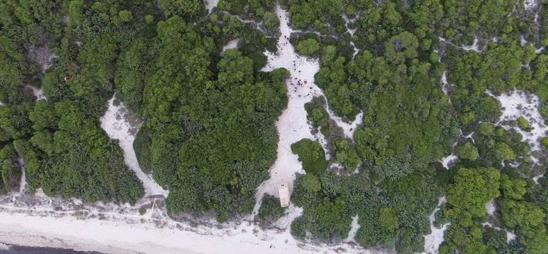
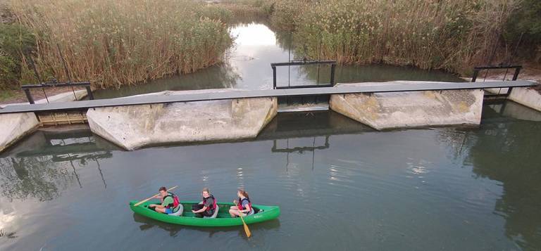
Work largely happened in two protected Natural Areas in Northeast Mallorca which included a wide diversity of environments including fresh-brackish wetlands, shallow lakes, canals, ditches and coastal dunes. The Department's relationship with local protected area authorities also meant we had access to areas not normally open to the public. In return, the data we collected helped them with their management.
Working in small groups, students carried out a range of projects reflecting the type of research undertaken in the Department. This included opportunities to be trained in and use research-grade field and lab equipment. Some students even got to practice their inflatable rowing boat skills.
Alongside the practical work of a physical geographer, the field trip also prepared the students for the assessment side of academia. The last afternoon of the field class saw them presenting their findings to the group in the form of a conference paper. On our return to London, the project work was written up as a research paper for an academic journal.
- Year 2: Glasgow: Narrating the Second City of Empire
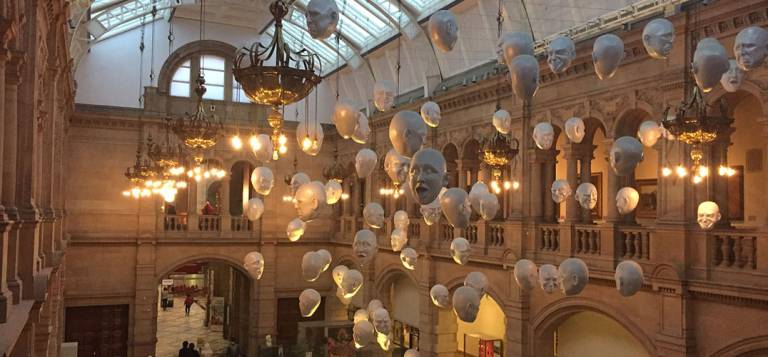
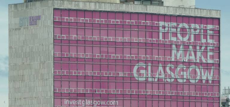
Glasgow is one of Britain’s finest Victorian cities and also a renowned centre for excellence in contemporary art and design. During the nineteenth century, it was known as Britain’s ‘Second City of Empire’ due to its strength in manufacturing and industry.
But since that time, the city has been through a period of decline connected to the unravelling of Britain’s Empire, as well as periods of sustained cultural and economic regeneration that have stimulated experiments in architecture, design and urban creativity.The city’s contrasting economic and cultural fortunes are inscribed in its urban and social landscape, in its architecture and in the ways the city has chosen to narrate its own history in its museums and other heritage centres.
This field class focused on Glasgow’s story as Britain’s ‘Second City of Empire’, how the city is narrated and understood through its cultural industries and how Glasgow’s historical and contemporary architecture connects it to its global geographies. Students worked with historical, textual, visual and ethnographic sources to better understand Glasgow’s historical, cultural and social geographies.
The field course took place over five days in the city, during which the students went on guided walking tours, took part in museum and gallery work, carried out historical and archival research, and conducted ethnographic research under the supervision of members of the teaching staff. By the end, they had produced their own project work for the module.
- Year 3. Lesvos: Reading the Mediterranean Landscape
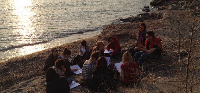
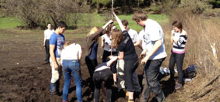
As a third-year specialist course, this module focused on aspects of Mediterranean environments. The aim was to bring together the knowledge learned over the entire undegraduate programme with field skills to develop a holistic understanding of the interactions between geology, climate, vegetation and human that go into shaping landscapes. Our setting was Lesvos, an island situated between three continents and which has long fascinated naturalists. Indeed, this is where Aristotle invented biology.
The visit began at a petrified forest, one of the best examples of its kind with tree trunks and root systems preserved by the material produced by volcanic eruptions for over 20 million years. We discussed the geological evolution of the island and the climatic and ecological inferences we can draw from these fascinating fossilised trees.
On our second day we visited the Megali Limni ancient lake basin, containign a record of how abrupt climate changes originating in the North Atlantic affected the local environment during the last glacial period. We took sediment cores from the basin and examined how environmental events are imprinted on the stratigraphy. On the third day, we climbed to the top of the Parakoila mountain, noting changes in vegetation and taking tree cores, whose annual growth rings contain an archive of recent climatic changes.
On the fourth, we took microclimate measurements and considered the factors influencing microclimates. On the final day, students analysed tree-ring and microclimate data, presenting their results to the group.
Our overall ambition in the Lesvos field class was to develop advanced skills in 'reading landscapes' by understanding how physical, biological and cultural forces combine over time to shape an area of land. In this sense, the aim was nothing less than to transform how we look at nature.
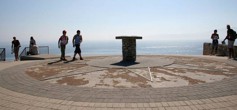
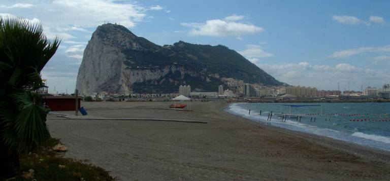
- Year 3. Gibraltar: Political Geographies of Territory, Diplomacy, and Brexit
Gibraltar is a UK Overseas Territory, a peninsula jutting off from Spain into the Mediterranean Sea. Historically, it guaranteed the Royal Navy access to the Mediterranean and continues to serve that function even as the global role of the British military has receded with the Empire. More recently, Gibraltar has been a flashpoint in UK-Spanish relations, though one moderated by Gibraltar’s status as the only Overseas Territory in the European Union.
In the early 2000s, the UK government considered reducing British sovereignty, only to be stopped by the political will of the locals. Since then, Britain has guaranteed no change in the peninsula's constitutional status without the consent of the Gibraltarians.
But the Brexit vote in 2016 has threatened that status quo, giving Spain the option to close the land border. That raises the question, what is the future of this tiny — but world-famous — territory?
Studying Gibraltar means exploring two themes in political geography: territory and diplomacy. The former has long been a focus within the field but has seen a growth in popularity in recent years. Theorists have been approaching it in new and innovative ways, from renewed border studies to the 'vertical' appreciation of territory. By contrast, diplomacy has been more marginal in political geography but has come in for increased scrutiny in recent years.
Gibraltar provides an excellent case study for both of these topics thanks to the characteristics that make it unique. As a military fortress with a single border much of the workforce crosses every day, territory is key. That is especially true as the border becomes more prominent post-Brexit. As an Overseas Territory, Gibraltar is not allowed its own foreign policy. Despite that, it is caught in a web of diplomatic relations on a range of scales from the hyper-local to the global.
Students on the course coproduced two research projects, generating original research on a timely topic. The programme is, therefore, not just about learning but about doing.
- Year 3. Stockholm: Advanced Techniques for Studying Everyday Life in Cities
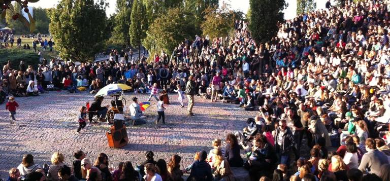
Cities are about interacting with strangers and flows of efficient human movement. But they are also about moments of relaxation and social encounters. All these features and more are central to making a city an enjoyable place to spend time. Yet we rarely pay attention to how exactly they are organised and experienced.
In the Stockholm field class, we took on the challenge of doing exactly that. The aim was to develop new insights into how cities work, and how they might work better, through new examinations of everyday life.
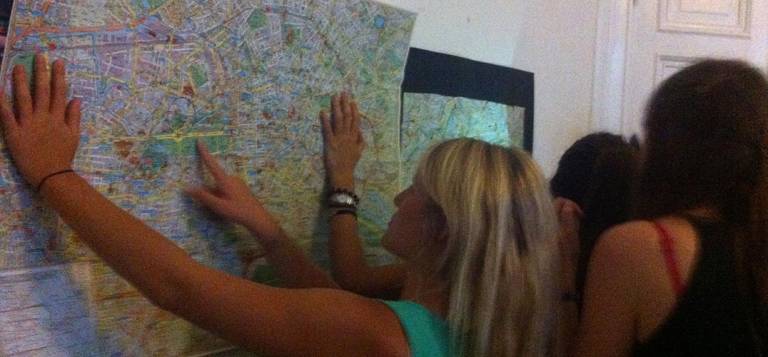
We experimented with ‘auto-ethnography’ – closely examining our own experience of a place to see what it tells us about how that space works. To do that, we hire bicycles and learned to move around an unfamiliar place.
After that, we considered the photograph and how photography can help us examine the various intricacies of city life. We asked ourselves questions like:
- How can images help us notice and understand variation in everyday objects and how people interact with them?
- How can they notice things we might otherwise ignore?
We also looked at the information video can reveal, including:
- What can close examinations of videos of people moving in and out of city malls tells us?
- What do videos tell us about how people and animals live together in different urban contexts?
The aim was to develop our skills as experimental human geographers – willing, ready and able to try out new methods and see where they lead us.
On return to London, the students collated their experiences into a web essay, showcasing their abilities to question what is often taken for granted about city life.
 Close
Close

